#166: The real reivers – Hidden history of the Debatable Land
...in which we ramble up remote Liddesdale in the extreme north-east of Cumbria to uncover the remarkable history of a unique independent territory transformed into a bloody borderland.
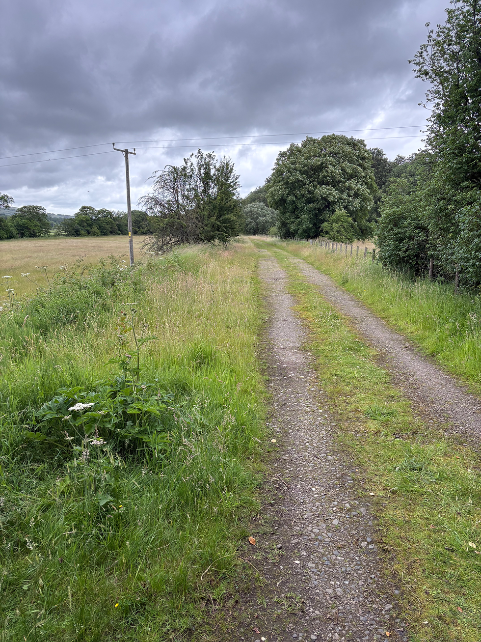
In the company of author and academic Graham Robb we set out from Kershopefoot along the trackbed of the historic Waverley Line, taking in the landscape of the once-unique enclave between England and Scotland; an uninhabited ‘batable’ grazing land bounded by the rivers Liddel, Esk and Sark that formed a buffer zone between often warring nations.
Stepping into the Scottish Borders, we discuss the popular perception of the ‘reiving’ families who lived around this anomalous territory – the Elliots, Armstrongs and Grahams – and the raids that saw cattle rustled and fortified peel towers set ablaze.
Surveying moorland and scattered woods to rising Tinnis Hill, Graham outlines a parallel history; one of stability, in which a raid was not thuggery, but a coming-of-age ritual/form of trade in an advanced pastoral society with strict Border laws that kept the peace for 1,500 years.
Passing meadows with folds and dips that made ideal hiding places for rogues and raiders, we move into the mid-1500s, when the English and Scots crowns orchestrated a plan to carve up the Debatable Land by making lawlessness legal, preparing the ground for characters like ballad outlaw Kinmont Willie and the sadistic Duke of Buccleuch to conduct reigns of terror.
Closing in on Liddel Water, we learn about the end of the Debatable Land, and the “astonishingly beautiful and accurate map” (below) that recorded the establishment of what Graham argues is “the oldest detectable territorial division in Great Britain”.
Reflecting on the violent excesses that wiped the one-time grazing lands from the map, Graham discusses the long shadow cast by imperial colonialism, the persistent discomfort over cross-border marriage and the independent spirit that lingers in border folk.
We close with our quickfire questions, where Graham recalls a relationship-testing ascent of Swirral Edge, waxes lyrical about the definitive descriptions of Cumbrian rain in Rogue Herries and notes the advice he was given before moving into the borderlands – to “leave the pub by 9.30 at the latest”.
The Debatable Land: The Lost World Between Scotland and England is published by Picador.